


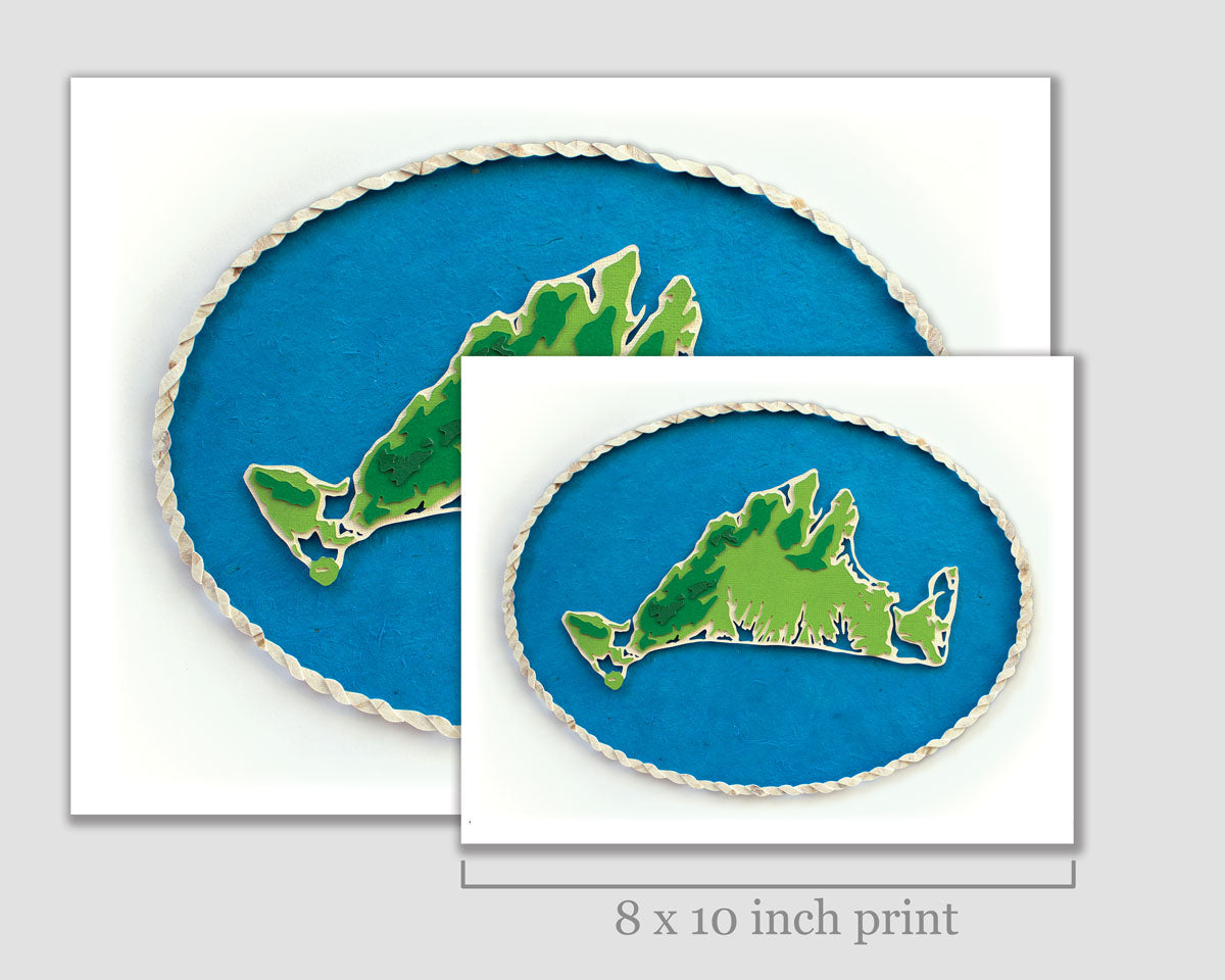
About Archival Prints
Related Products
-
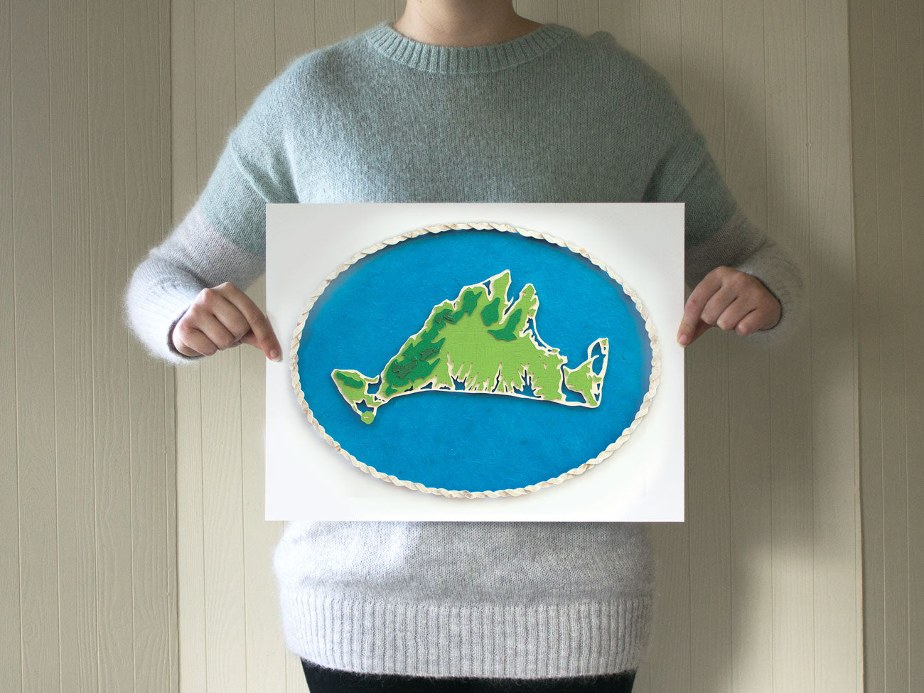
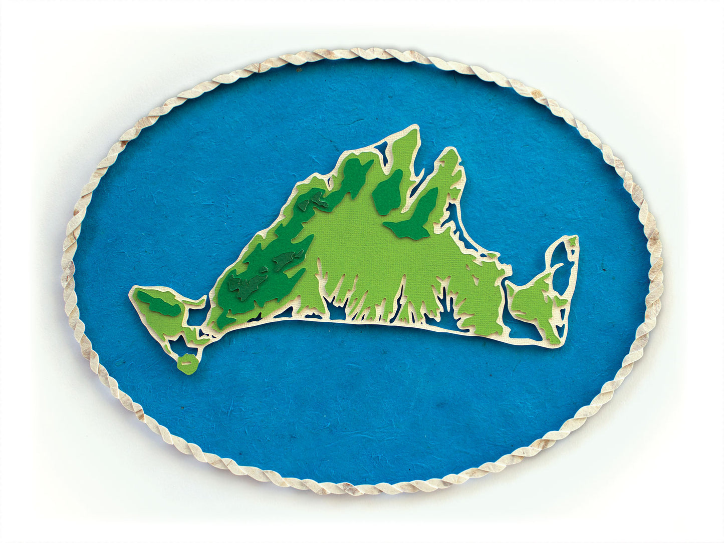
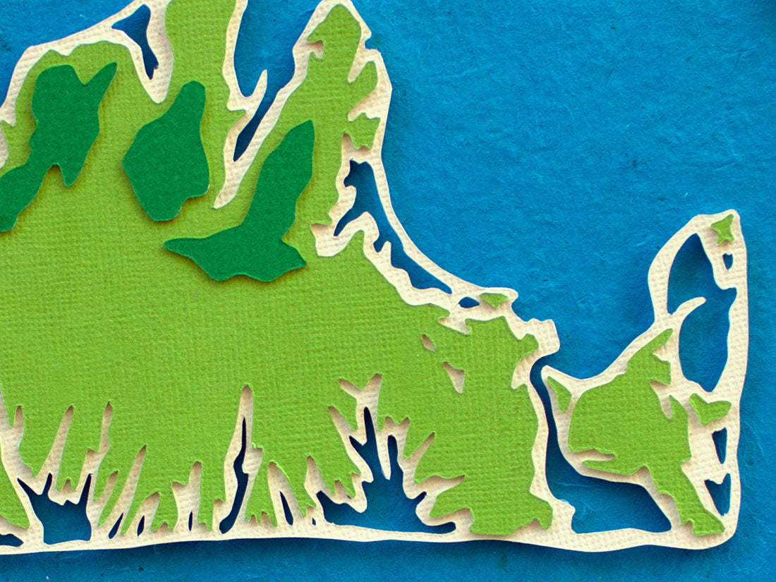
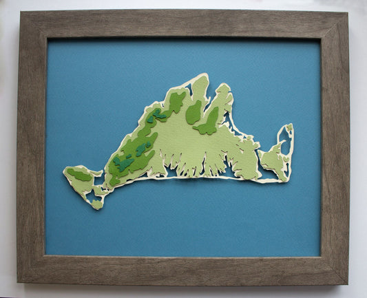
Martha's Vineyard Topography Map Original Cut Paper Illustration
Regular price From $195.00 USDRegular price -
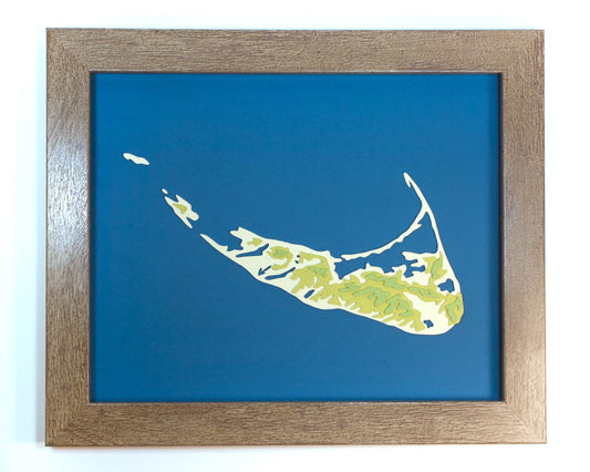
Nantucket Topography Map Original Cut Paper Illustration
Regular price From $195.00 USDRegular price -
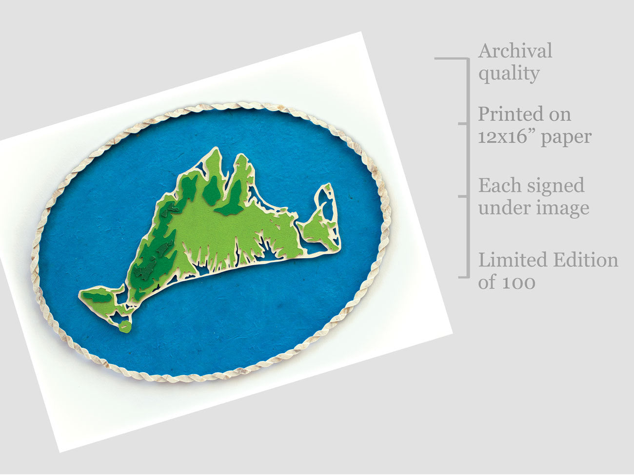
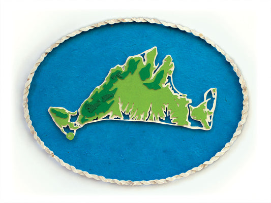
Martha's Vineyard Topography Map Limited Edition Print
Regular price From $40.00 USDRegular price$40.00 USDSale price From $40.00 USD
More to Discover
-
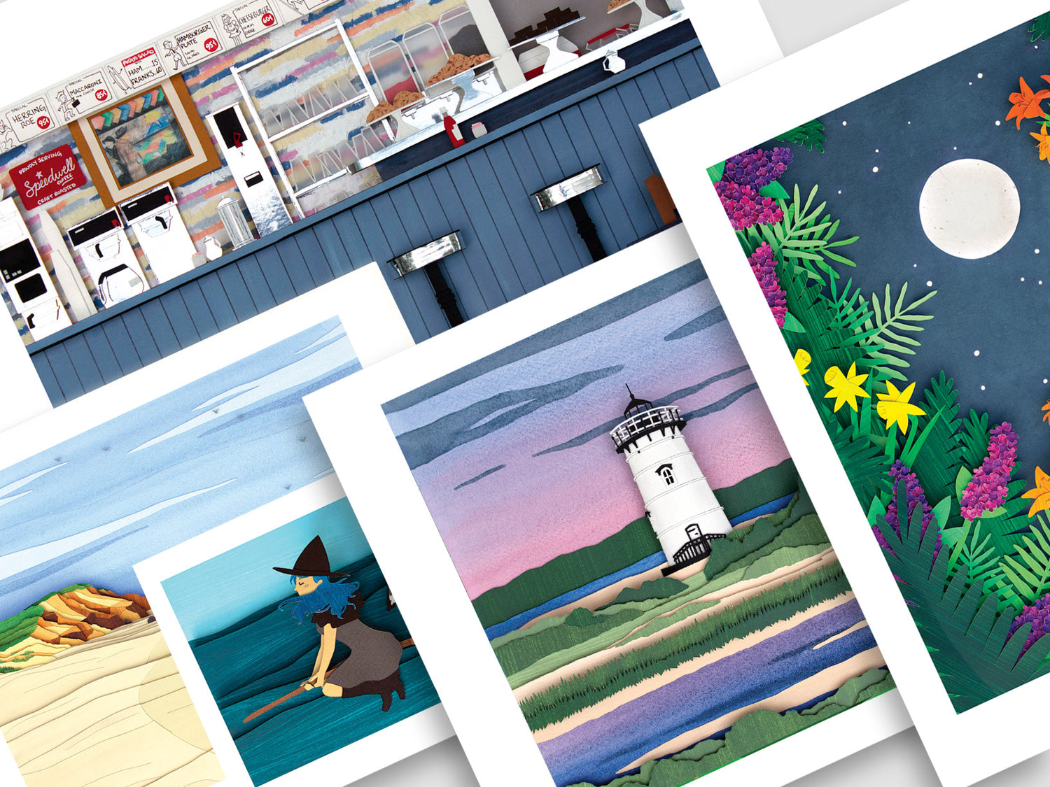
Archival Art Prints
Limited edition prints are available for a selection of my original artwork....
-
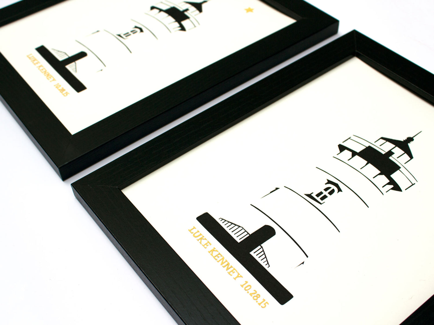
Bespoke Original Artwork
My popular lighthouse and map illustrations can be customized with your text...
-

Framed Original Cut Paper Artwork
When making a dimensional paper illustration, I carefully cut each individual shape...


