Taylor Stone Illustration
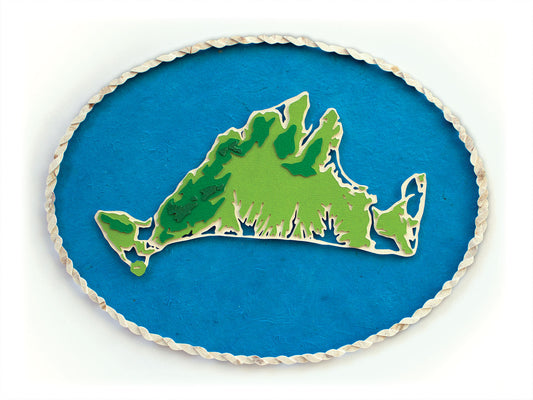
Martha's Vineyard Topography Map Original Cut Paper Illustration
Martha's Vineyard Topography Map Original Cut Paper Illustration
Couldn't load pickup availability
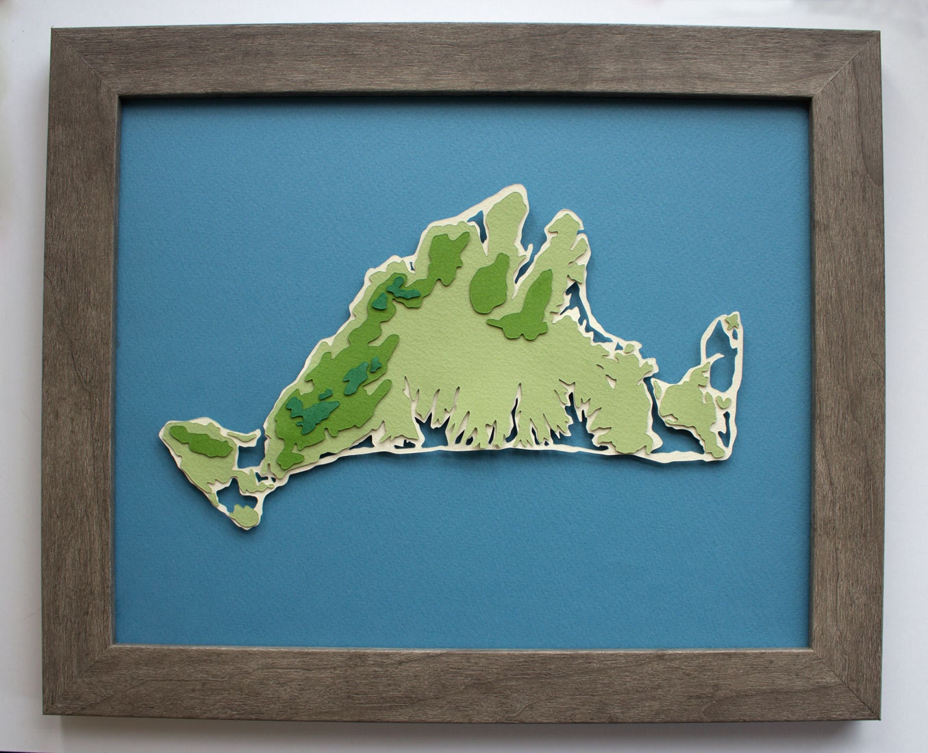
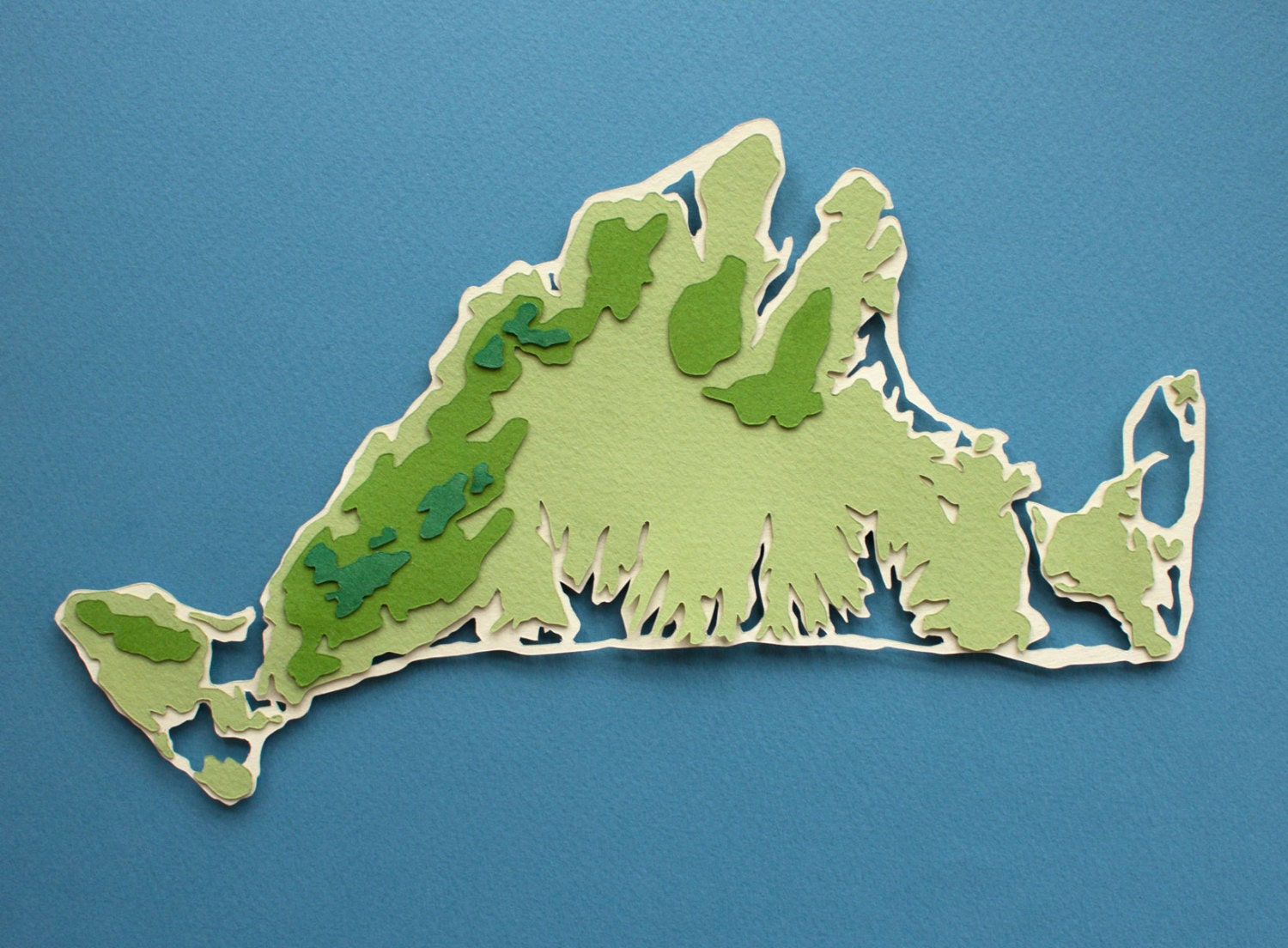
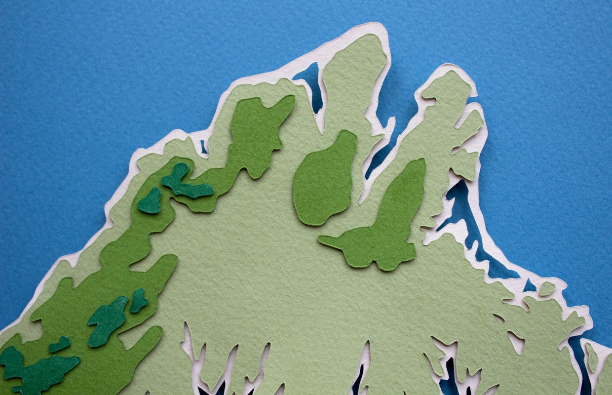
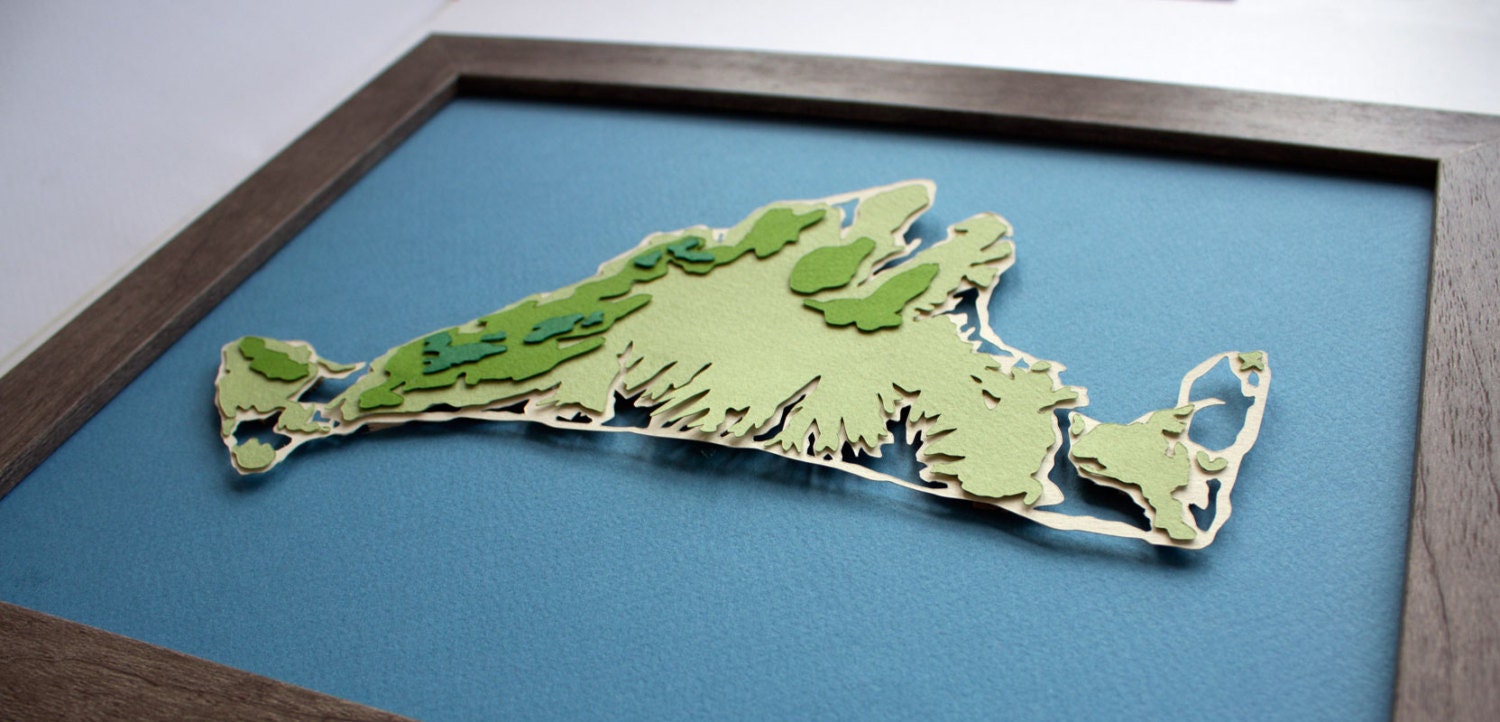
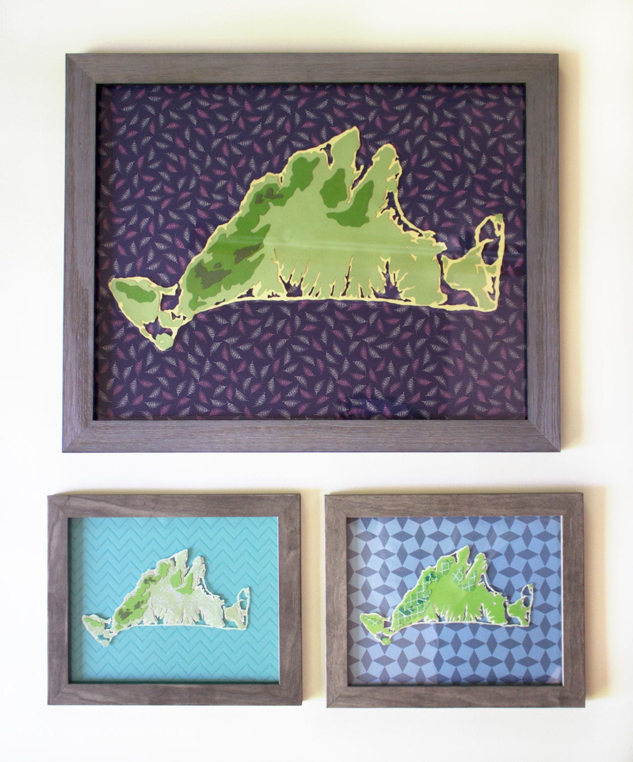
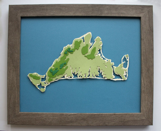
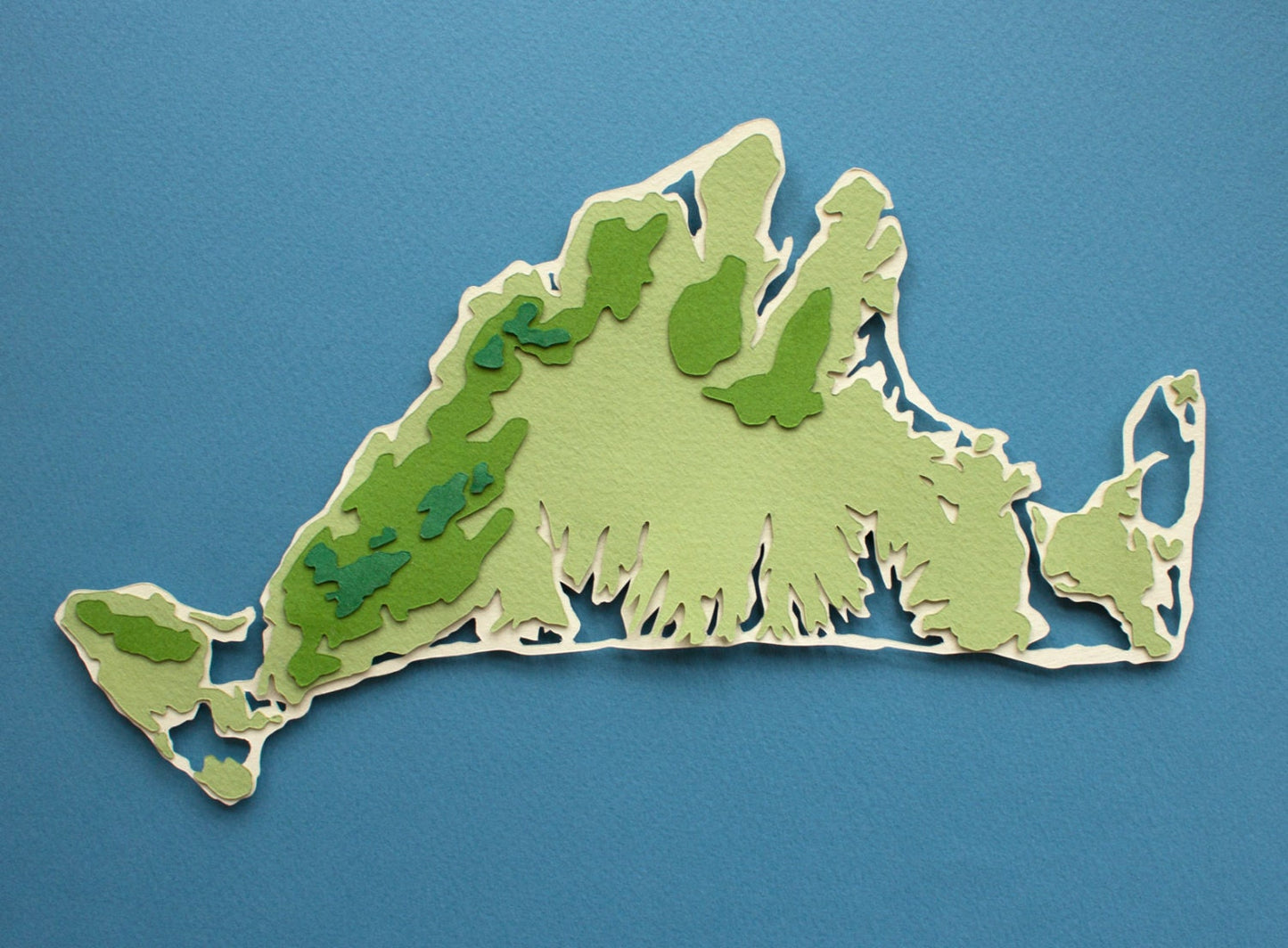
This original made-to-order cut paper work shows the 3-dimensional topography of Martha's Vineyard, my home island off the coast of Massachusetts. The detailed cutwork shows Tisbury Great Pond, Edgartown Great Pond, Sengekontacket and more! Available in two sizes, with the option to add a custom location pin of your choice to the smaller 10 x 8" size. Simply select the "Custom Location Pin" option, and enter location details at checkout!
Dimensions
Dimensions
8 x 10 inches or 12 x 16 inches.
Estimated time to Ship
Estimated time to Ship
Expect Original Cut Paper Illustrations to ship in 6-8 weeks.
Share
About Made to Order Maps
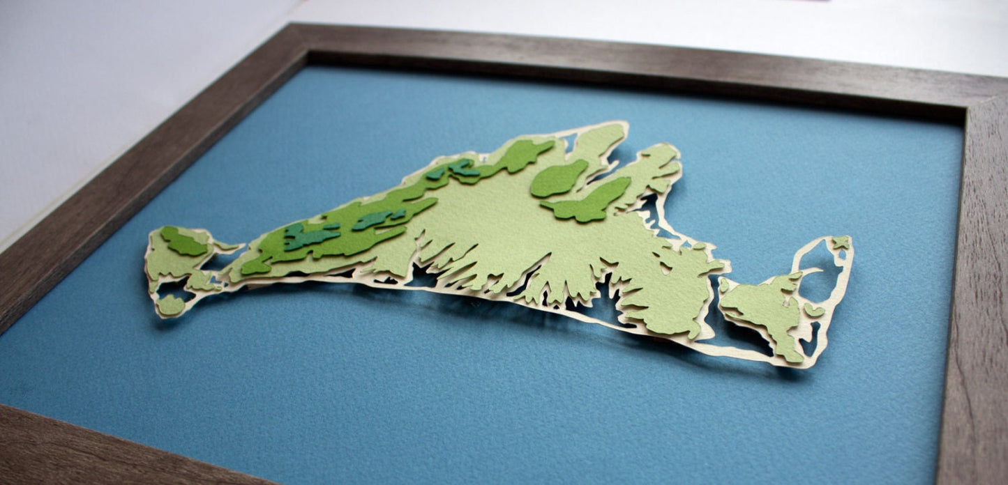
Made using acid free colored papers, each piece of the topography map is hand cut and archival glued to last for years to come. To keep a dimensional feel to the image (allowing for those little shadows), I have Bristol paper layered between each color to add depth, along with having the entire island raised from the background
These are all made to order so each one comes out unique while using the same color scheme. Remember: colors look different across monitors, so the tones may appear slightly different in person.
Customize your map with a Map Pin! Simply select the map pin option and provide the location in a comment at checkout. I will be in touch to verify the customization.
Small maps arrive framed in a high-quality driftwood gray frame with a wooden texture that adds a natural quality to the piece. They arrive ready to hang using a sawtooth hanger on the backing.
Large maps are professionally framed in a custom shadowbox frame, featuring museum glass that is not only entirely clear but anti-glare and UV-protected to boot. The shadowbox frame is made on Martha's Vineyard from cherry by professional woodworker David Wiley.
Related Products
-
Martha's Vineyard Topography Map Original Cut Paper Illustration
Regular price From $195.00 USDRegular price -
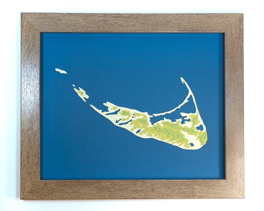
Nantucket Topography Map Original Cut Paper Illustration
Regular price From $195.00 USDRegular price -
Martha's Vineyard Topography Map Limited Edition Print
Regular price From $40.00 USDRegular price$40.00 USDSale price From $40.00 USD
More to Discover
-
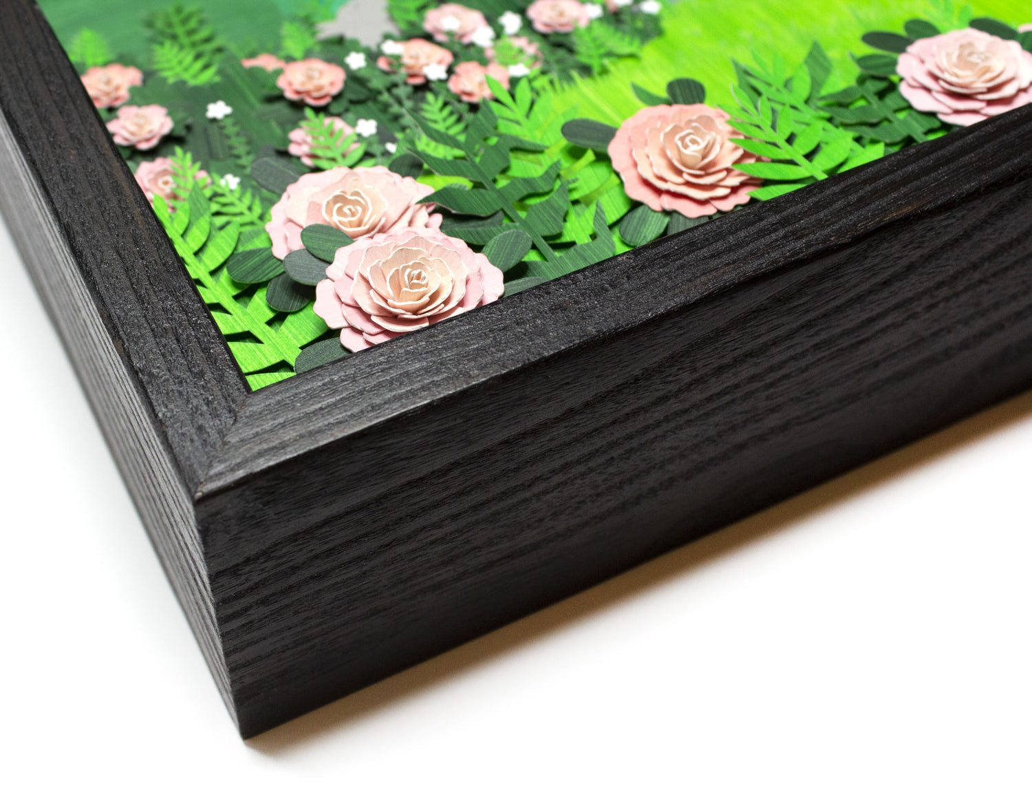
Framed Original Cut Paper Artwork
When making a dimensional paper illustration, I carefully cut each individual shape...
-

Martha's Vineyard Artwork
Martha's Vineyard is more than just my home, it's my inspiration as...
-
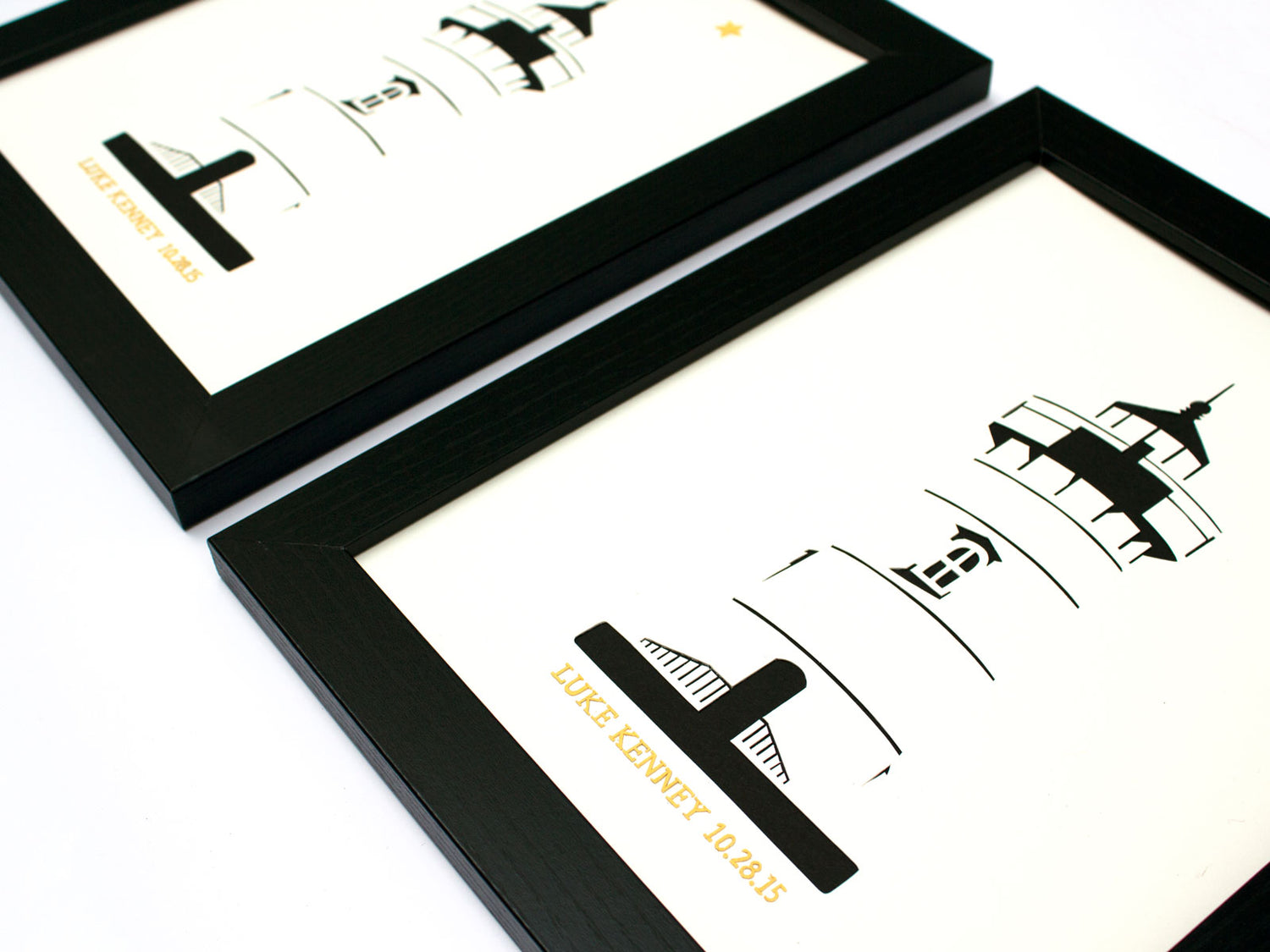
Bespoke Original Artwork
My popular lighthouse and map illustrations can be customized with your text...
