
Taylor Stone Illustration
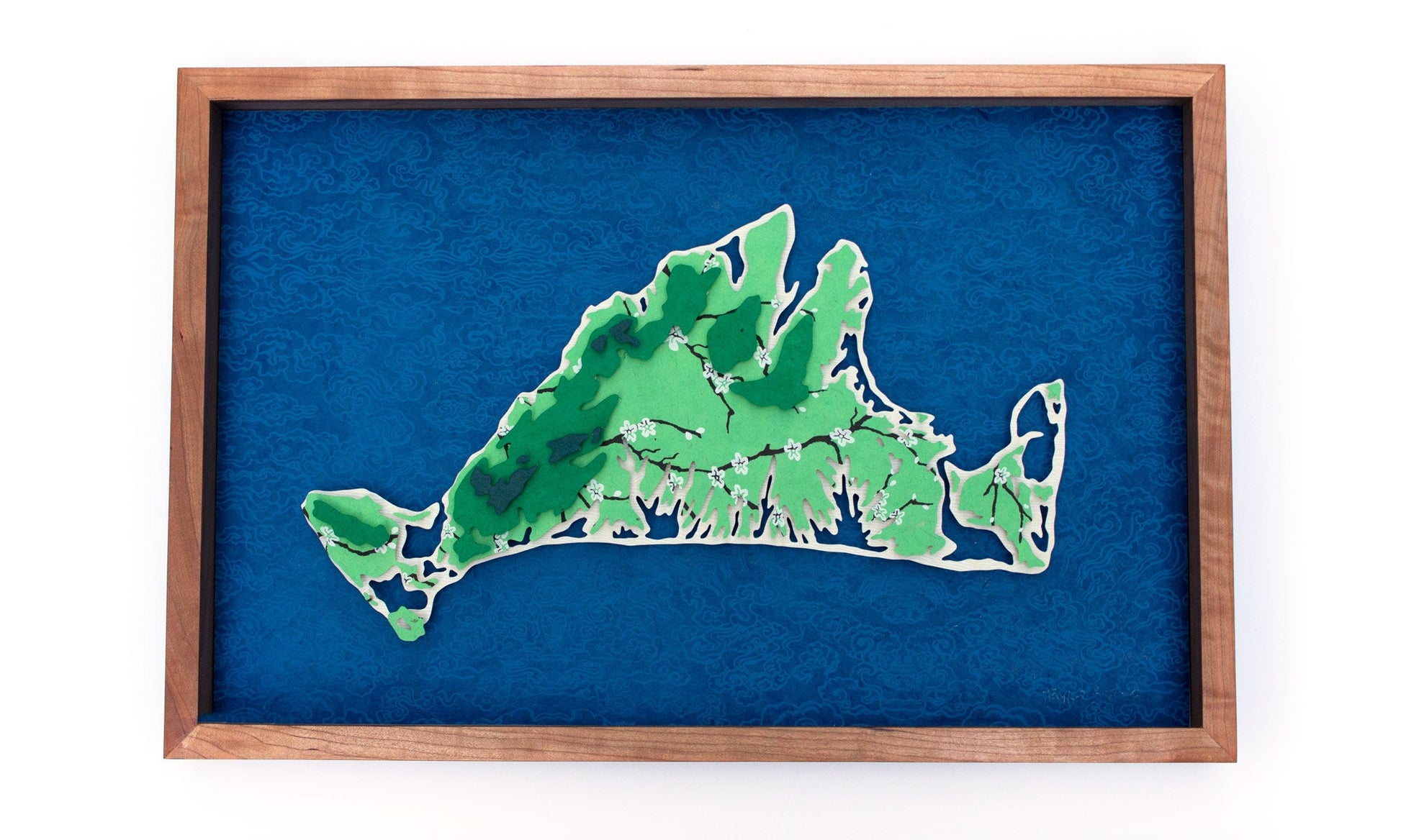
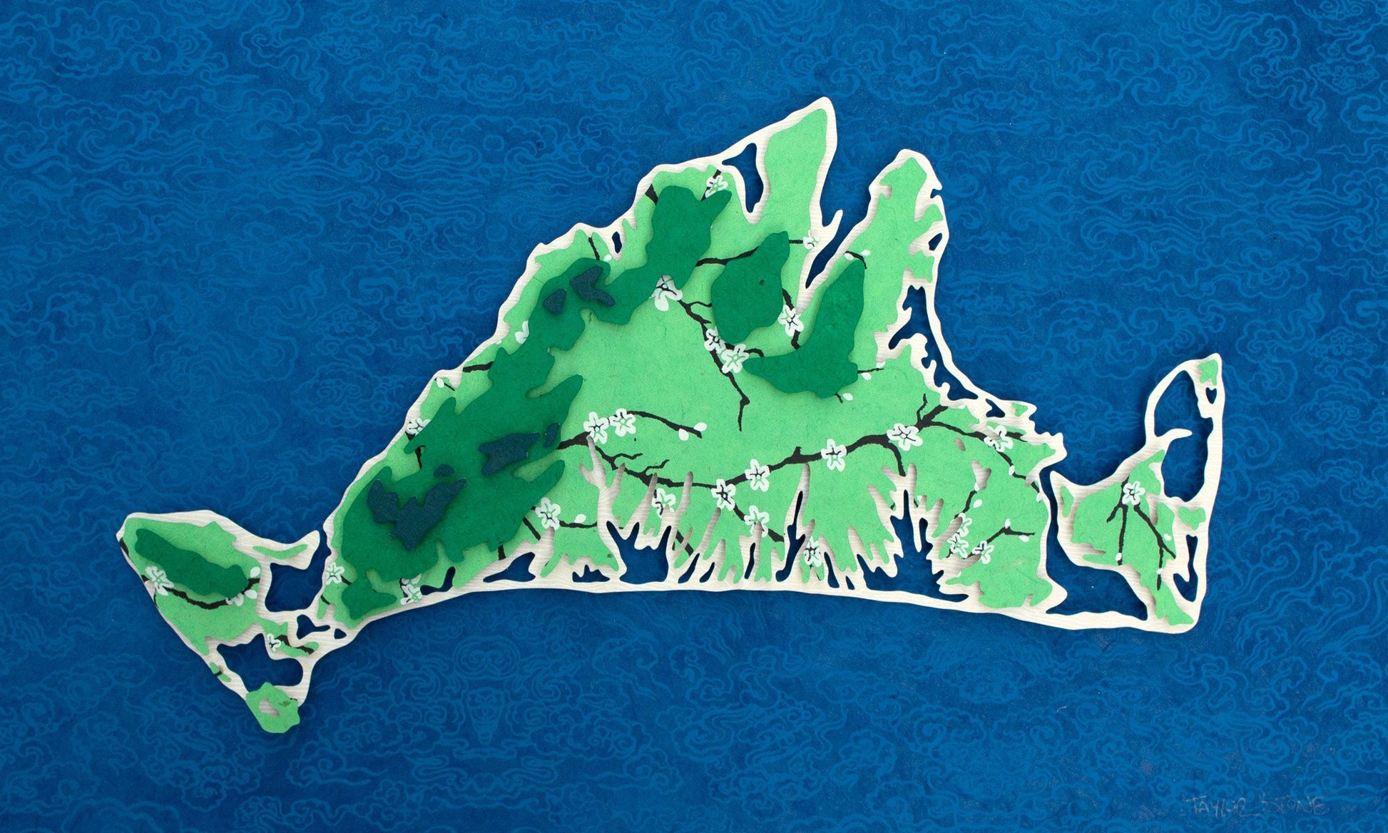
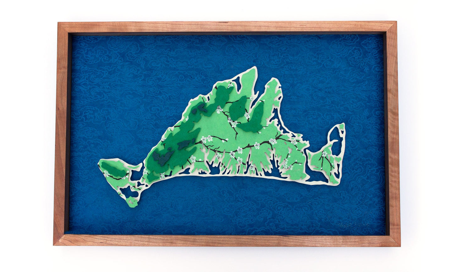
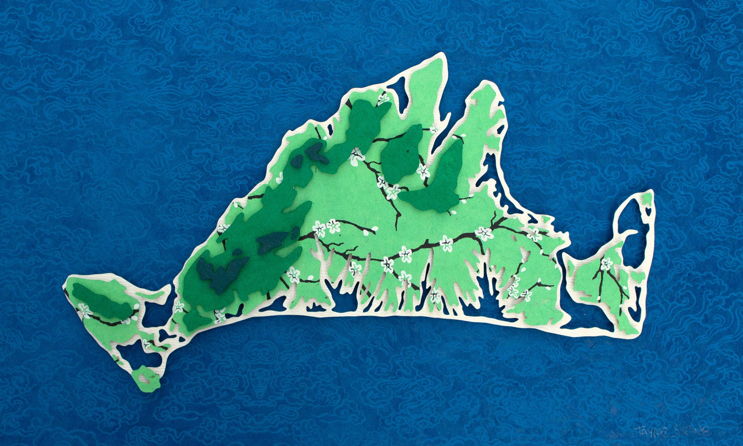
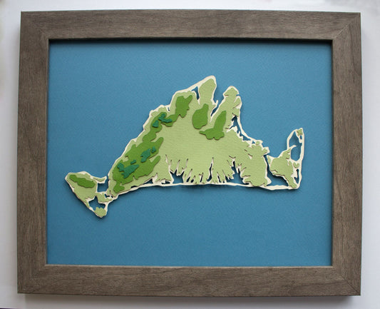
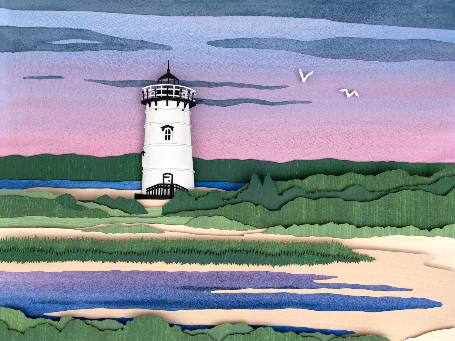
Martha's Vineyard Topography Map Original Cut Paper Illustration in Japanese Paper
Couldn't load pickup availability
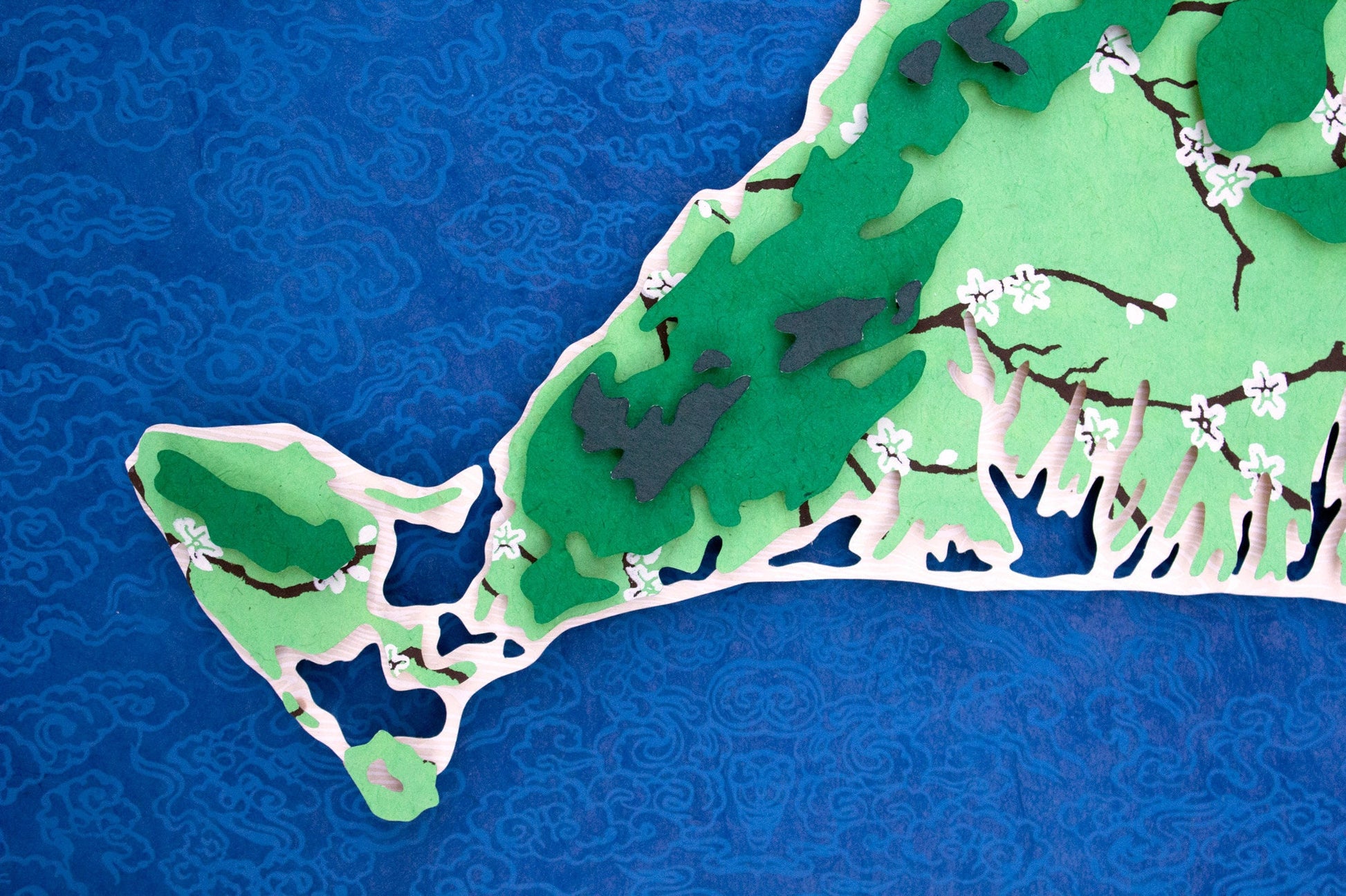
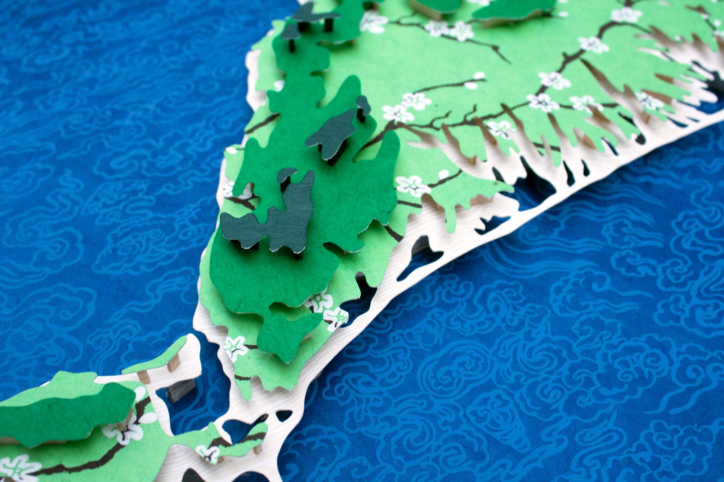
This original hand-cut paper illustration depicts the 3-dimensional topography of Martha's Vineyard, an island off the Cape of Massachusetts. The detailed cutwork shows Tisbury Great Pond, Edgartown Great Pond, Sengekontacket and more! This piece is made from four (4) layers of acid-free handmade and dyed papers, and this map in particular is made using many traditional screen printed papers on the layers.
Dimensions
Dimensions
24 x 16 inches.
Estimated time to Ship
Estimated time to Ship

About Original Works of Cut Paper Art
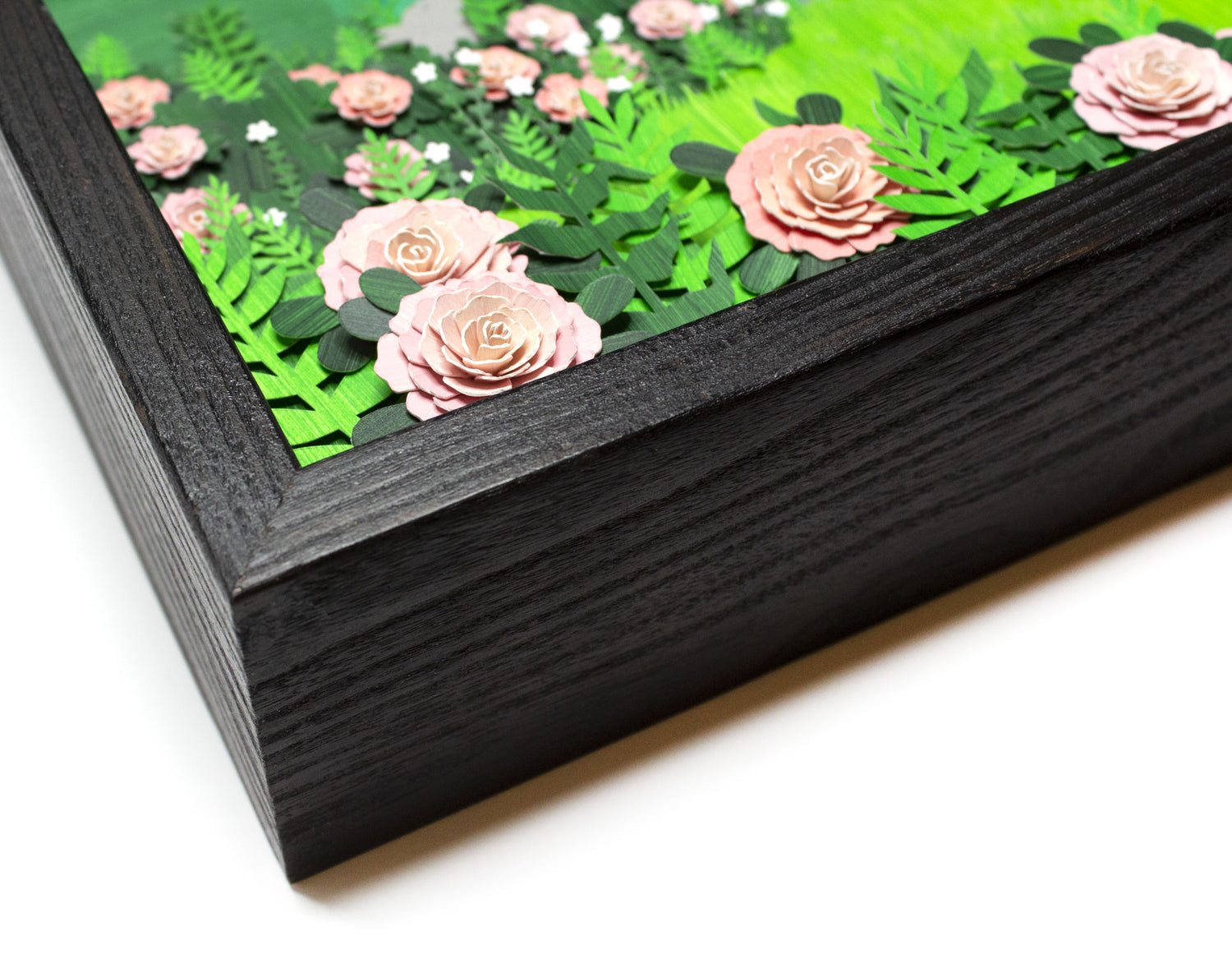
When making a dimensional paper illustration, I carefully cut each shape and layer the paper by hand (my personal favorite part). Then, it's "just" a matter of gluing it all together. Once layered and glued, each piece actually is about 2 inches deep, requiring a custom shadowbox frame.
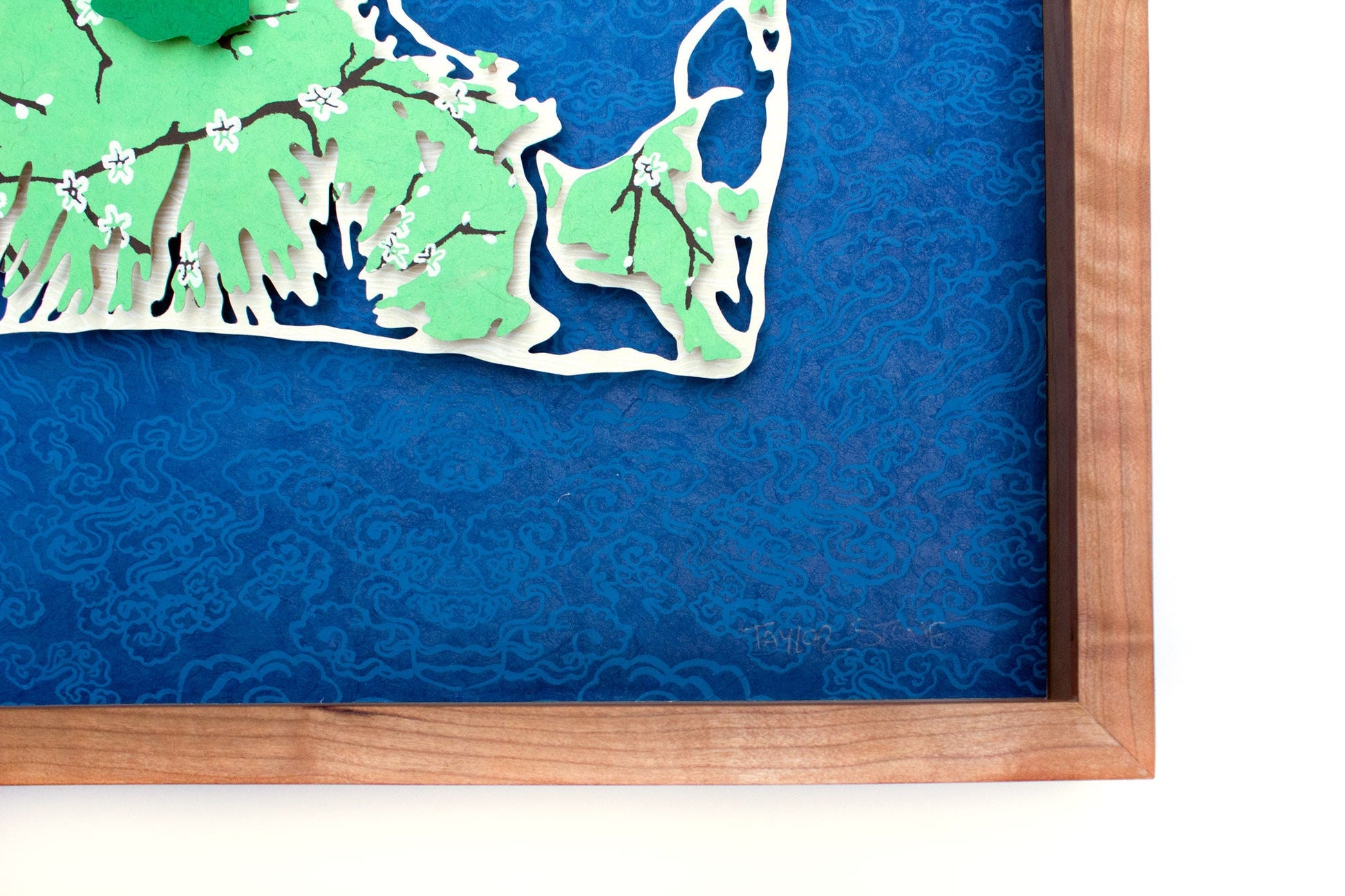
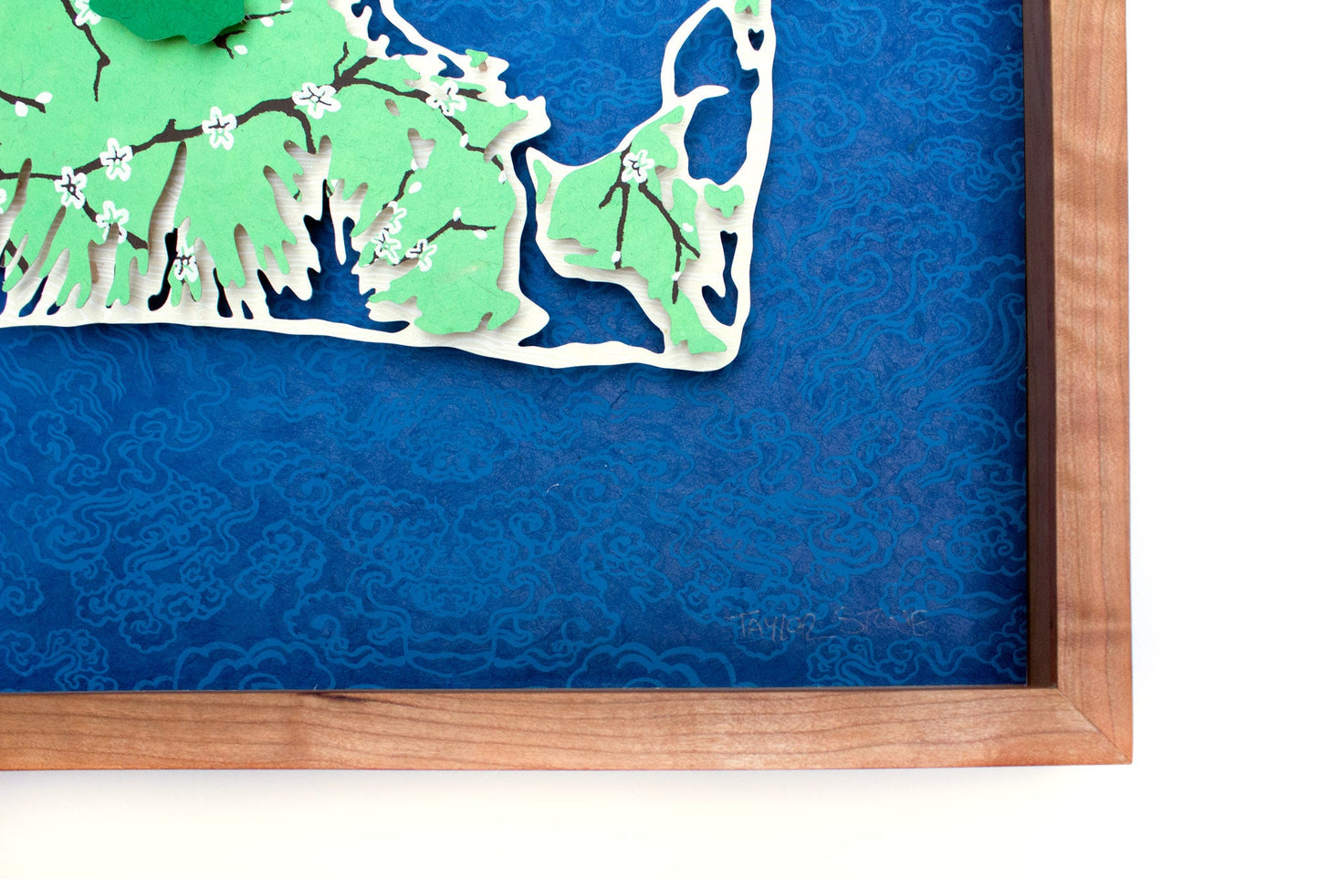
Original illustrations arrive professionally framed, featuring museum glass that is not only entirely clear but anti-glare and UV-protected to boot. The shadowbox frame is made on Martha's Vineyard from cherry by professional woodworker David Wiley.
Also to note: for all of my original illustrations, they are professionally packed, shipped, and insured to provide extra security (and peace of mind) in the shipping process.
Related Products
-
Martha's Vineyard Topography Map Original Cut Paper Illustration
Regular price From $195.00 USDRegular priceUnit price per -
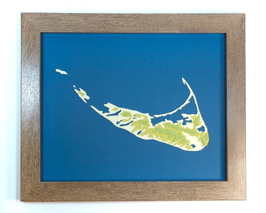
Nantucket Topography Map Original Cut Paper Illustration
Regular price From $195.00 USDRegular priceUnit price per -
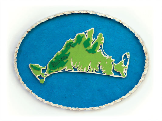
Martha's Vineyard Topography Map Limited Edition Print
Regular price From $40.00 USDRegular priceUnit price per$40.00 USDSale price From $40.00 USD
More to Discover
-
Framed Original Cut Paper Artwork
When making a dimensional paper illustration, I carefully cut each individual shape...
-
Bespoke Original Artwork
My popular lighthouse and map illustrations can be customized with your text...
-
Martha's Vineyard Artwork
Martha's Vineyard is more than just my home, it's my inspiration as...


